Umm An-Naser
| Om al-Nasr أم النصر (Umm an-Naser) | |||
| Verwaltung: | Palastina Autonomiegebiete Palästinensische Autonomiegebiete Palästinensische Autonomiegebiete | ||
| Gebiet: | Staat Palästina | ||
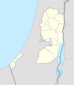
| Gouvernement: | Nordgaza | ||
| Koordinaten: | 31° 34′ N, 34° 33′ O31.55916666666734.553055555556Koordinaten: 31° 33′ 33″ N, 34° 33′ 11″ O | ||
| Einwohner: | 4.737 (2017) | ||
| Zeitzone: | UTC+2 | ||
| Gemeindeart: | Dorf | ||
| |||

Umm an-Naser oder Om al-Nasr (arabisch أم النصر, DMG Umm an-Naṣr, auch al-Qarya al-Badawiya / القرية البدوية / al-Qarya al-Badawiyya) ist ein palästinensisches Dorf im Gouvernement Nordgaza des Staates Palästina im Gazastreifen.[1]
Nach Angaben des Palästinensischen Zentralbüros für Statistiken (PCBS) hatte das Dorf im Jahr 2017 etwa 4737 Einwohner. Das Dorf wurde 1997 auf einer Fläche von 800 Dunam gegründet.[2] Die Mehrheit der Bewohner sind Beduinen.[3]
Einzelnachweise
- ↑ Projected Mid-Year Population. In: www.pcbs.gov.ps. Archiviert vom Original am 12. Februar 2012 Vorlage:Internetquelle |
abruf=2024-MM-TT ist Pflichtparameter Vorlage:Internetquelle |abruf=2024-MM-TT ist Pflichtparameter (englisch). for Gaza Governorate by Locality 2004-2006 Palestinian Central Bureau of Statistics - ↑ خاص لـ"وطن" .. بالفيديو .. غزة : "أم النصر"على موعد مع الكارثة .. قرية على "ضفاف" الصرف الصحي. وكالة وطن للأنباء, abgerufen am 13. Mai 2019 (arabisch).
- ↑ The children of a Bedouin family play near to the tent of Palestinian security members in the village of Umm Al-Nasr, north of the Gaza Strip, on Aug 2005-AWAD AWAD/AFP via Getty Images: Hamas’ use of excessive force to displace Bedouins angers Gazans - Al-Monitor: Independent, trusted coverage of the Middle East. 20. Juni 2022, abgerufen am 13. Januar 2024 (englisch).


 Umm_An-Naser