| Highest point |
|---|
| Elevation | 5,050 m (16,570 ft)[1] |
|---|
| Coordinates | 11°49′15″S 75°05′27″W / 11.82083°S 75.09083°W / -11.82083; -75.09083 |
|---|
| Geography |
|---|
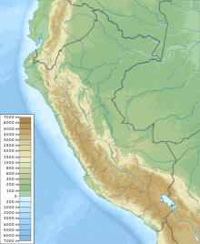
| Location | Peru, Junín Region |
|---|
| Parent range | Andes, Waytapallana |
|---|
T'illu (Quechua for pinch, tweaking,[2] Hispanicized spellings Tello, Tillo) is a mountain in the Andes of Peru, about 5,050 metres (16,568 ft) high. It is situated in the northern part of the main sector of the Waytapallana mountain range.[1] It lies in the Junín Region, Concepción Province, Comas District.[3]
References
- ^ a b Evelio Echevarría, Cordillera Huaytapallana, Peru, in: The Alpine Journal, 2009, p. 161-167
- ^ Teofilo Laime Ajacopa, Diccionario Bilingüe Iskay simipi yuyayk'ancha, La Paz, 2007 (Quechua-Spanish dictionary)
- ^ escale.minedu.gob.pe - UGEL map of the Concepción Province (Junín Region)