Þingeyjarsveit

Cet article est une ébauche concernant une localité islandaise.
Vous pouvez partager vos connaissances en l’améliorant (comment ?) selon les recommandations des projets correspondants.
| Þingeyjarsveit | |||
 Héraldique | |||
 | |||
| Administration | |||
|---|---|---|---|
| Pays |  Islande Islande | ||
| Région | Norðurland eystra | ||
| Circonscription | Norðausturkjördæmi | ||
| Comté | Suður-Þingeyjarsýsla | ||
| Maire Mandat | Tryggvi Harðarson (2010-2014) | ||
| Code postal | 601, 641, 645, 650 | ||
| Code municipal | 6612 | ||
| Démographie | |||
| Population | 867 hab. (2022) | ||
| Densité | 72 hab./km2 | ||
| Géographie | |||
| Coordonnées | 65° 43′ 22″ nord, 17° 21′ 34″ ouest | ||
| Superficie | 1 202,1 ha = 12,021 km2 | ||
| Localisation | |||
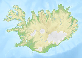
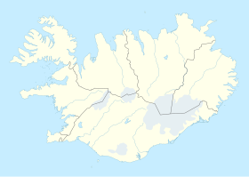
 Situation de Þingeyjarsveit | |||
| Géolocalisation sur la carte : Islande
Géolocalisation sur la carte : Islande
| |||
| Liens | |||
| Site web | https://www.thingeyjarsveit.is/ | ||
modifier  | |||

Þingeyjarsveit est une municipalité du nord de l'Islande.
Histoire

Cette section est vide, insuffisamment détaillée ou incomplète. Votre aide est la bienvenue ! Comment faire ?
En 2006, Þingeyjarsveit a absorbé la municipalité d'Aðaldælahreppur qui comptait 256 habitants au .
En mai 2022, la municipalité absorbe avec Skútustaðahreppur.
Composition
Cette section est vide, insuffisamment détaillée ou incomplète. Votre aide est la bienvenue ! Comment faire ?
Compétence
Cette section est vide, insuffisamment détaillée ou incomplète. Votre aide est la bienvenue ! Comment faire ?
Démographie
Cette section est vide, insuffisamment détaillée ou incomplète. Votre aide est la bienvenue ! Comment faire ?
v · m Municipalités d'Islande par région | ||
|---|---|---|
| Austurland |  | |
| Höfuðborgarsvæðið | ||
| Norðurland eystra | ||
| Norðurland vestra |
| |
| Suðurland | ||
| Suðurnes | ||
| Vestfirðir | ||
| Vesturland | ||
 Portail de l’Islande


